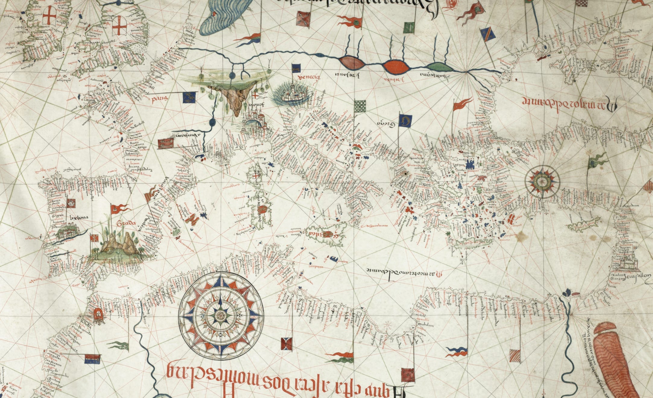
Portolan maps, like this one from 1492, are medieval nautical charts marked by accurate coastlines, rhumb lines radiating from wind roses, and a mile scale for measuring distances between ports. They focus solely on coastal features like ports and river mouths, aiding navigation through dead reckoning—a method of estimating position based on a previousl…
Continue reading this post for free, courtesy of Dr Cristian Ispir.